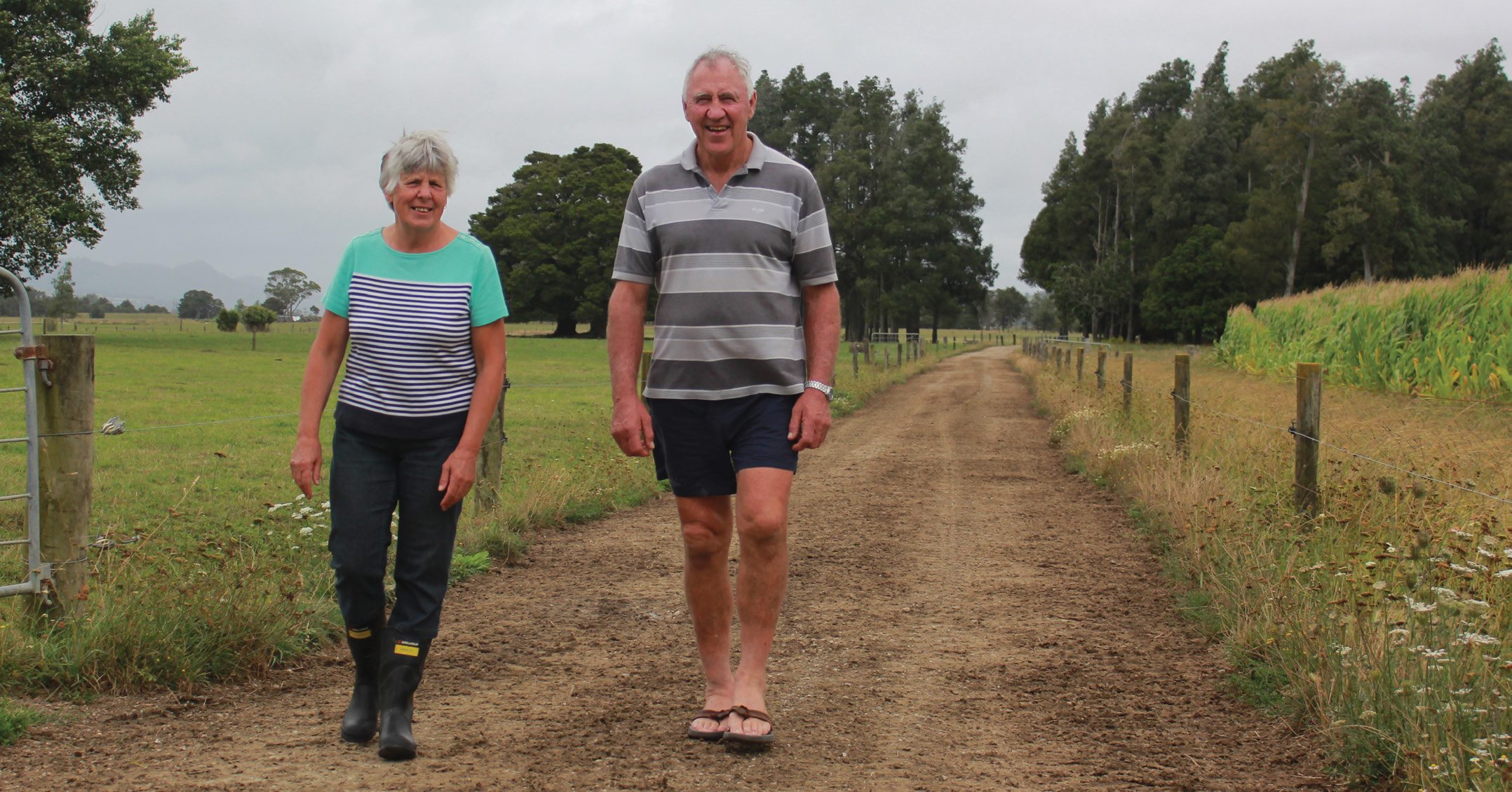
For a Northland couple, flooding is just part of everyday farming. By Delwyn Dickey.
Evan and Sherleen Smeath have lived with the steady rise and fall of flood waters on their Hukeranui dairy farm for more than 40 years. And while it can get a bit soggy at times, it’s a life they love.
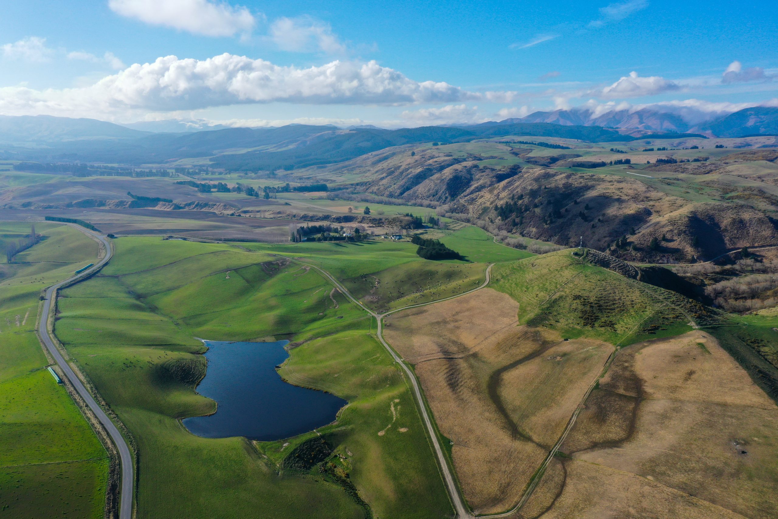
Their 189-hectare farm is on the northern edge of the Northland’s 5670ha Hikurangi swamp, just before the Whakapara river joins the Waiotu river to form the mighty Wairua River. On average there’s one flood a year. During a flood 5500ha of the swamp flatlands can be affected Evan says.
Before the 1970s when the Hikurangi Swamp system of flood banks was built and pumps installed, the floodwaters could stay up for three or more weeks. The swamp scheme cut that by a third. The farmers in the scheme are specially rated by the Whangarei District Council to cover costs including operating costs, maintenance, and a whopping $260,000 annual power bill. Evan and Sherleen pay a special rate of $30,000 annually for the scheme, with Evan the spokesman for the farmers in the Te Mata group and their pump station. The seven pump stations are able to pump out 39,000 cubic metres of water a second and can reduce the flood levels by 25cm in 24 hours.
Eels flourish in the drains, ditches and wetlands in the area, but are killed if they go through the pumps. A new protocol initiated by local hapu Ngati Hau now sees the pumps left off for the first eight hours to give the eels a chance to move with the waters away from the pumps.
“The water comes up quickly but also goes down quickly,” says Sherleen. “The back end of the farm is where it sits and lies. It can lie there for two weeks.”
The total farm area includes a 72ha run-off, with the milking platform at 95ha. Smaller floods will see up to 20ha under water for a few days. A normal flood will see 25-30ha underwater. The big floods can take out more than 60ha of pasture.
And the flooding isn’t consistent.
“We can have three floods in an exceptional year and then nothing for another three years,” Evan says. In 1988 they had a really big flood from Cyclone Bola and were then hit by another big one three months later.
The timing of floods also affects how damaging they are, with summer floods the worst, he says. From November on a flood lasting three or more days will kill the grass. In the middle of summer with three days of temperatures over 25C the water is too hot and the plants die.
While the grass will also die in the colder months, if under water for more than 10 days, winter floods generally don’t do too much damage.
“It makes the grass dirty and brown and yucky for a few days, but doesn’t generally kill it,” he says.
Regrassing mix speeds feed
Experience over the years has seen them develop management systems on the farm to deal with the flooding.
After trialing, Evan now uses a “salad mix” of seed which goes on the paddock as soon as the floodwaters go down. Containing ryegrass, chicory, clover, cocksfoot, fescue and a bit of lucerne the pasture goes from “seed to feed” in five to six weeks, he reckons. It has to grow quickly but being mindful it may also be in the ground for two or more years before another flood. When flooding hasn’t killed the grass, Evan puts on a little bit of fertiliser – nitrogen and sulphate of ammonia, to get the grass going again.
Maize insurance on hand
One of their key mitigation initiatives is to always have a store of maize on hand as feed for the cows, as “insurance” should paddocks be out of action. This is grown at several different sites around the farm each year, so if one patch doesn’t survive should it flood, the others will.
A large covered concrete feeding pad is also part of this. Here the cows can be fed and stay dry under cover during the cold of winter, and cool during the heat of summer.
Experience tells them when an approaching weather system is likely to cause a flood and gives them time to get things ready. Knowing which paddocks will flood first sees Evan moving the cows on to them to eat off the grass before the bad weather hits. From there they are moved off to paddocks that don’t flood.
Having been through so many floods, they are just part of their farming experience. Rather than frightening Evan and Sherleen find them annoying.
The flood waters here don’t flow, says Evan.
They come up and then they go down, so aren’t dangerous like fast-flowing river flooding. This is reflected in how little silt is left behind on the grass after a flood.
And should they get caught out their cows and bulls will also come to Evan and Sherleen when they call them, and will follow them out through chest high water. They also have peace of mind knowing the cows are also excellent swimmers.
Weather bombs increasing
But they are noticing more frequent, smaller floods happening. There is no doubt weather patterns are changing, Evan says.
‘Weather bombs’ that seem to come out of nowhere are also happening more often, he says which can catch them out.
For the first time a year ago the calf shed, along with the cow shed, was flooded with the calves having to be rescued, most of their bedding material swept away.
The amount of rain coming off the hill was a torrent and was pushing the farm bike sideways on the track, Sherleen recalls.
Northland Regional Council recently released new upgraded maps for Northland showing, for the first time across the entire region, where river flooding happens – through a normal year, as well as a 10-year, 50-year and 100-year flooding event.
See: www.nrc.govt.nz/environment/river-flooding-and-coastal-hazards/river-flooding/river-flood-hazard-maps. The data in these maps is very accurate, Evan says, and sees the maps as an important tool for farmers across the north, especially for those looking at buying land or their first farm.
Clearly still loving the experience of farming on the swamp and hugely optimistic about the future of farming in the area, he also offers some advice for farmers moving on to new land which may be prone to flooding.
- Look at the maps
- Talk to your neighbours about their experiences
- Get a plan in place to keep you and your animals safe
- Don’t go out until the peak of flooding has passed
- If you don’t know if a farm is going to flood and it comes at night don’t go out – it’s too dangerous – unless you really know your way around, he advises.
So, are big downpours getting heavier with flooding more common?
The simple answer is yes, says Nava Fedaeff, climate scientist and forecaster with National Institute of Water and Atmospheric Research (Niwa).
As the atmosphere warms with climate change, it is able to hold more moisture, she says.
This is going to increase the amount of rainfall in any extreme event like atmospheric rivers and cyclones, but also thunderstorms generally, leading to more flooding. Research has shown atmospheric rivers have been behind the country’s worst floods over the last few decades.
These are long, narrow, air currents bringing moisture-laden air from the tropics. They can be thousands of kilometres long and are more easily seen from satellite images. They dump a huge amount of water in one event when they make landfall as has been seen on the West Coast of the South Island recently.
And while the north doesn’t have alps for the atmospheric rivers to hit and dump their moisture, Northland still had two of the country’s 10 most expensive flooding events during this time, caused by these high-flying rivers.
As climate change becomes more pronounced it’s uncertain if there will be more tropical cyclones, but they are expected to become stronger as ocean and air temperatures warm with more category 4 and 5 cyclones. Needing at least 26.5C water temperature to maintain their structure, and with ocean temperatures rising, cyclones will be able to travel further south – but not as far as New Zealand.
But as they will be stronger, the tail end of the ones we do catch will be more powerful, holding more rain, and likely affecting northern NZ more than the rest of the country.
Niwa also has current and past daily forecast videos for river flooding. These animations show daily river flow forecasts for 24-hour periods across NZ.
See: niwa.co.nz/climate/research-projects/river-flow-forecasting#daily