By: Anne Lee
For those old enough to remember when man first stepped on to the moon in 1969 the idea you’d be setting up your week’s grazing plan and allocating cows to paddocks based on a picture from space is something of a sci fi wonder.
But it’s a reality and for a price, farmers – initially in parts of Canterbury but soon to be nationwide – can expect to get an email once a week with an image taken by satellites hurtling around Earth and passing over New Zealand every day.
Along with the inbox image will be a feed wedge, graphically displaying pasture cover in kilograms of drymatter (DM)/ha from highest to lowest with paddocks identified along the bottom axis.
There will also be a list of paddocks, each with its average cover.
Standing for satellite pasture and cover evaluation, the new SPACE service offered by LIC has been able to correlate the images measured by the satellites with drymatter covers by calibrating the images with data from actual drymatter yield information and the clever use of algorithms.
In the past the ability to get useful information has been confounded by cloud cover and the frequency of cloudy days.
But as the number of satellites circling Earth has increased LIC has now been able to source information from satellites passing over the country every day.
Based on weather information LIC expects farmers can expect to have data every 7-10 days even in winter.
South Island Dairy Development Centre executive director Ron Pellow says the Lincoln University Dairy Farm LUDF has been part of trialling the new technology comparing the weekly farm walk data collected using the rising plate meter with reports from the satellite.
“It’s increasingly representing the data as we’ve collected it,” he says.
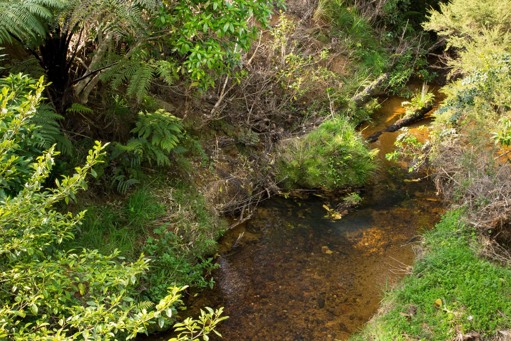
The satellite image of the farm is useful with a level of detail that shows variability within a paddock.
Just as the platemeter data gives an average cover for a paddock so too does the SPACE report but the image shows just how variable the covers might be within that paddock.
Given LUDF has issues at some times with what the platemeter is telling the farm management team compared with what the cows are telling them, Pellow says the SPACE report also needs to be looked at as a tool.
For LUDF having the weekly information from the SPACE report isn’t likely to mean an end to the farm walks members of the farming public are free to join each week, Pellow says.
“But we may stop plating the whole farm on those walks in the future and use that farm walk as a way to analyse the information form SPACE, validate it and have a discussion about what we’re going to do based on the information.
“It will be less about collecting the data and more about interpreting it and making decisions.”
Pellow says the consistency of the information would be of benefit to those farms where they struggle to have the same person plating the farm each week or if they struggle for time to walk the whole farm frequently enough.
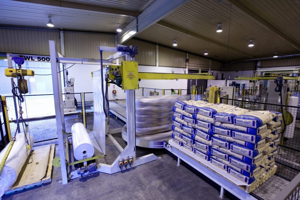
For those with MINDA Land and Feed the information is also loaded automatically into the programme and for those with other pasture management software the data comes in a way that farmers can easily manually upload it into any programme.
Initially SPACE is being offered to farmers within two 1000 square km areas – one around Dunsandel and one around Hinds but the expectation is it will be rolled out across the country as soon as possible.
Until January 22, 2018 the service is being offered free to farmers in the two areas to allow them to trial it.
From January 22 the costs will vary according to the area of the farm with a 100-150 hectare farm able to subscribe to the service for $2250/ year or $187.50 a month. For a 301-400ha farm the cost is $3000/year or $250/month.